Read More
After much bush whacking and testing, we have completed the BUTM courses for 2025. This includes some significant amendments to the old well-tested trails that are briefly outlined below. We invite all trail lovers to join the race to test the amendments for yourself. Route details can be found on the website under "Course Maps & Profiles".
Overall Layout
The overall layout of the race courses with a central start and finish area at the Riverside Park in Kiulu has been maintained. This works well logistically and is convenient for runners - in particular for those driving to the venue themselves. All race categories make single loops out from the Riverside Park which is located along the main Kiulu River and offers the opportunity for a refreshing dip to cool off after the race.
The main aid station W1/W8 is maintained at Kitapol, but shifted to a new and better open hall along the river.
100 km
The overall concept of the 100 km course as a "Figure 8" with a central start/finish and halfway station at Kiulu is maintained - see image below. Key changes for the 100 km route includes:
- From the start to W1 the first downhill section is on a new track/trail. This leads down to the first river crossing which is now on a new bridge to avoid any risk of queuing at a hanging bridge.
- The dirt road section leading to W1 has been exchanged by a new 1 km rough track and 3 km small trail section to reach the new W1 at Kitapol. This will reduce the overlap between Loops 1 and 2.
- The jungle trail section from W2 to W3 has been slightly extended to climb the shoulder of Bukit Dikalod, offering spectacular views from the top over much of the Racecourse from start to W4 on a clear day. Looking back, Kitapol with W1 will be nestled in a valley with the South China Sea further in the background. Looking forward, the feared "Talantang Loop" from W3 to CP1 can be seen as a large horse-shoe shaped ridgeline (if not hidden in the clouds). This amendment to the trail not only provides great views, it also improves safety as it cuts out a trail section along a narrow ledge with a significant drop-off where a couple of runners have had incidents during past events.
- The trail from W5 to W6 has been extended along the ridgeline with a new downhill trail towards W6. This is a little more open and should be less slippery in wet conditions than the old trail that could turn treacherously muddy and slippery.
- From W9 to W10, the old course that was becoming increasingly sealed has been exchanged for a shorter route on forest trails which includes several stream crossings, offering good opportunities to cool off on a hot day.
50 km
The 50 km course has been changed from Loop 1 (blue) to Loop 2 (yellow) of the 100 km course, except for the section from W7 to W8 where it will follow the new jungle trail section (blue in map below). The 50 km route will thus take in the two main new trail sections from the 100 km course (Items 2, 4 and 5 described above for the 100k).
30 km
The 30 km route has also seen major changes. Rather than going to W6 as previously, it will now follow the 100 km route to W8 from the start, and then include the additional loop from W9 to W10. Compared to the previous 30km course, this is close to a 50% of the course. It is slightly extended with new trail sections, but with slightly less elevation gain, and the overall level of difficulty is estimated to be similar to the previous course - but come and judge for yourself.
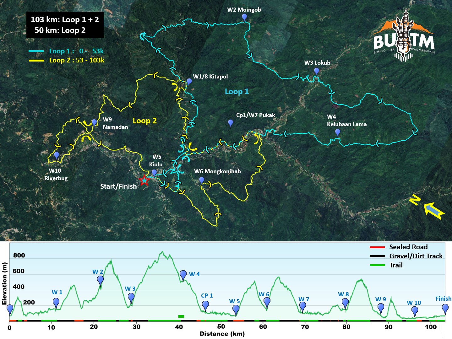
Outline of 100 km route for BUTM 2025 with the two loops. 50 km and 30 km routes mainly follow the second (yellow) route.
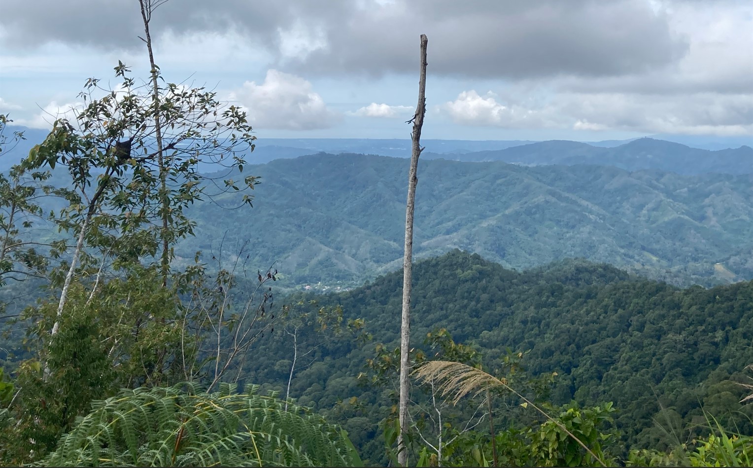
View from top of ridge at Bukit Dikalod towards W1 at Kitapol and the ocean in the background.
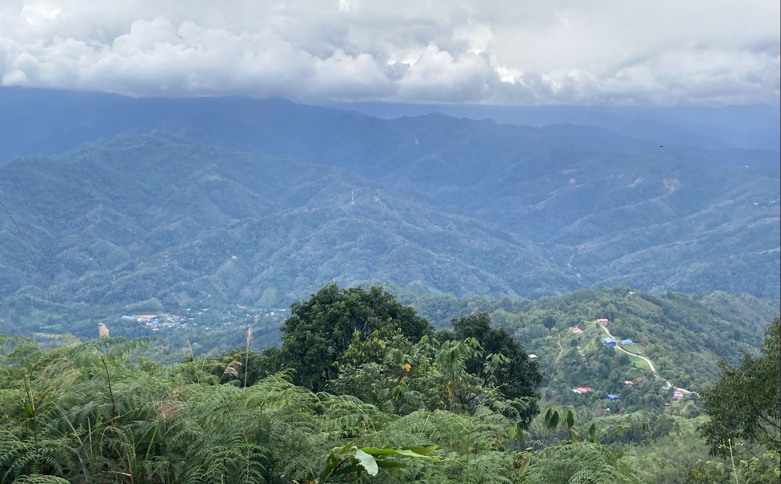
View from Bukit Dikalod to W3 down in the valley and the Talantang Loop extending to the cloud base in the background.
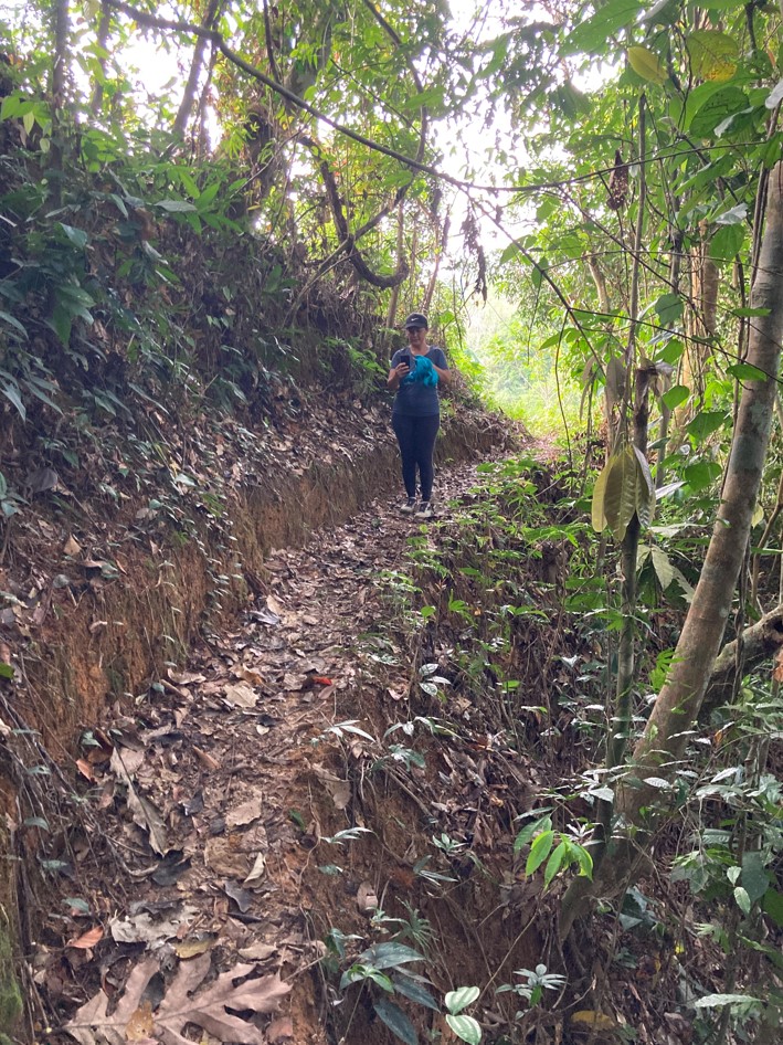
New forest trail to W1/W8
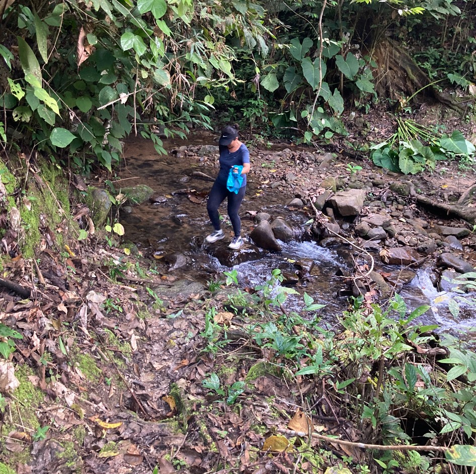
Refreshing river crossing along new trail to W1/W8
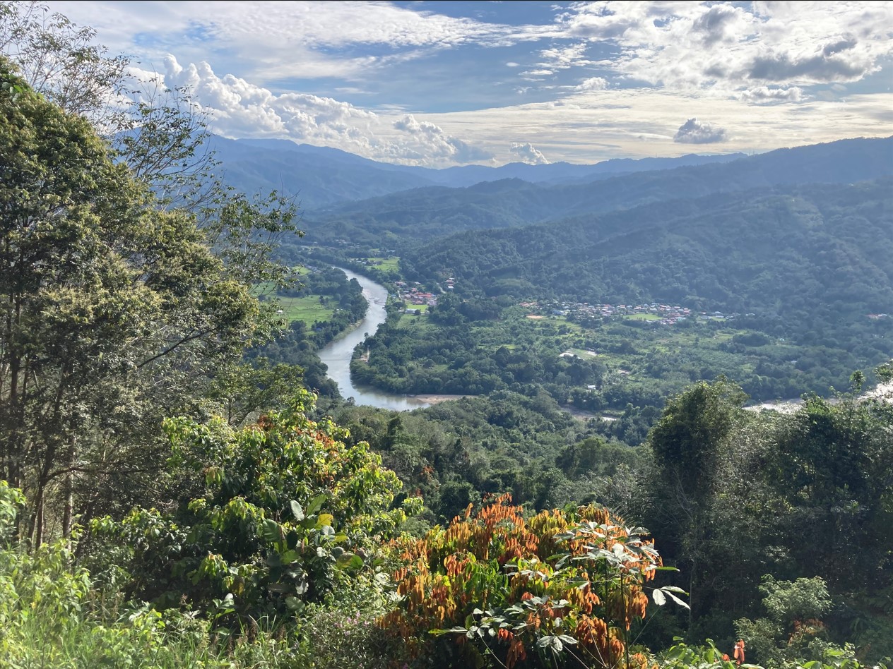
View towards Kiulu Valley from new trail between W9 and W10
